
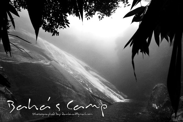
Location: Baha’s camp, Kelantan / Jelawang Waterfall
Altitude: 450-550m ASL
Difficulty: 1.5/10 (http://danlow.multiply.com/journal/item/50)
Camera: Canon EOS 350D
Lens: Tokina AT-X 124 AF Pro DX 12-24mm f/4
Filter: none
Post editing: PS CS3
Organizer: Dan
Members: Winnie, Shoan, Doreen, Rockson, Kah Fai, KL Tan, Jac, Lucy, CS Law and Khai Chern.
The day has come for humans to walk the tallest waterfall(Jelawang) in South East Asia again…. :P
This is my 3rd time there ... but this time is just purely Baha's camp, no Gunung Stong, no Gunung Ayam. ....
My reason to go there: Bring my friends there
Journey
12 Apr, 2008
0930 Left Butterworth
1130 Lunch Break at Puncak Titiwangsa
1400 At Mt Stong State Park Entrance
1420 Gear Up and Start Hike
1540 At BAHA campsite
1600 Set up tent and shower
1730 Prepared dinner
1930 Dinner & chit-chat
2130 Celebrate Kah Fai's Birthday
2200 Star watching
2330 zzzZZZZZZZ
13 Apr, 2008
0645 Wake up call
0640 Sunrise watch
0745 Prepare simple breakfast
1000 Head for Telaga Tujuh and Y Waterfalls
XXX Back to camp site
XXX Hike down to car park and clean up
XXX Tea break at Puncak Titiwangsa
0800 Dinner at Grik
1030 Home

Cost
- Guide Fees: NIL
- 4WD: NIL
- Entrance fees: RM3/pax
- Camp site fees: RM3/pax
- Food: RM18.00
- Transport: Passangers AA share petrol + tol cost - Drivers don't pay
- All of us in O2P could camp togather, that's the most important thing
- Easy and short trail, so all of us could go
- Nice campsite
- Nice waterfalls
- Nice sunrise view

- This place has been declared "Gunung Stong State Park", that means entries are controlled. You will be forced to take a guide, it will cost RM90/day if I'm not wrong. Well I argued that we have been there several times, and is a very short trail like and evening hike up to Bukit Mertajam, so we escaped the extortion this time.


